When to expect high winds, thunderstorms in SC Midlands Friday evening
Just days after severe weather created tornadoes that damaged buildings across the region, South Carolina’s Midlands are bracing again for the threat of high winds and strong thunderstorms Friday afternoon and evening.
The National Weather Service predicts Friday’s weather will not be as bad as Tuesday, with less rain and less severe storms expected as of an 11:30 a.m. media briefing.
But forecasters still expect potentially dangerous conditions could develop between 2 p.m. and 9 p.m. Friday, with a high wind advisory lasting until 7 a.m. Saturday.
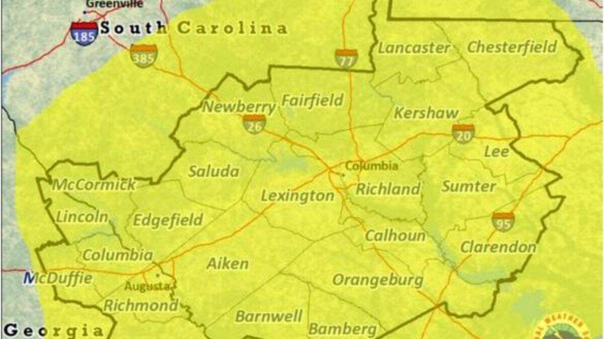
The area south of Interstate 20 is expected to see the most instability, the National Weather Service said. Wind gusts of 45 mph are expected, with gusts as high as 60 or 70 mph in some areas, leading to power outages and falling trees. Isolated tornadoes and minor instances of hail are possible.
Severe weather is expected to enter the Augusta area around 2 p.m., and blanket the Midlands as far as the North Carolina border by 4 p.m. Friday. The last remnants of the storm will move south of the Midlands by 10 p.m., the National Weather Service predicts.
Less than 1 inch of rain is expected in the Midlands, but that could be enough to exacerbate river flooding resulting from Tuesday’s storms. The Congaree River in Columbia reached peak flood stage earlier Friday and is expected to slowly return to normal levels by Tuesday, meteorologists predict.
Schools around the area are releasing early Friday to get students home safe before the worst weather hits.
Storms earlier this week spawned a tornado that touched down in Bamberg with winds of up to 125 mph, causing severe damage to several buildings in the small town. Another tornado with winds of 90 mph touched down near Chapin, and the National Weather Service was investigating a potential tornado in Lancaster County.
This story was originally published January 12, 2024 at 12:32 PM.
.jpg)