More severe weather is headed for the Midlands. Here’s the latest forecast for Wednesday
Severe weather including thunderstorms and strong winds could begin in the central and southern Midlands around 2 p.m. Wednesday, according to the National Weather Service.
Strong winds, hail and flooding are all possible between 2 p.m. and 9 p.m. Wednesday for the central and southern Midlands and the Central Savannah River Area. There remains some tornado risk in the southern Midlands and the Central Savannah River Area.
The Columbia area could see .25 to .5 inches of rainfall Wednesday. On Tuesday, more than 2.6 inches of rain fell in the Columbia area, according to the National Weather Service.
The southern Midlands and the CSRA could get between 1 and 2 inches of rain Wednesday.
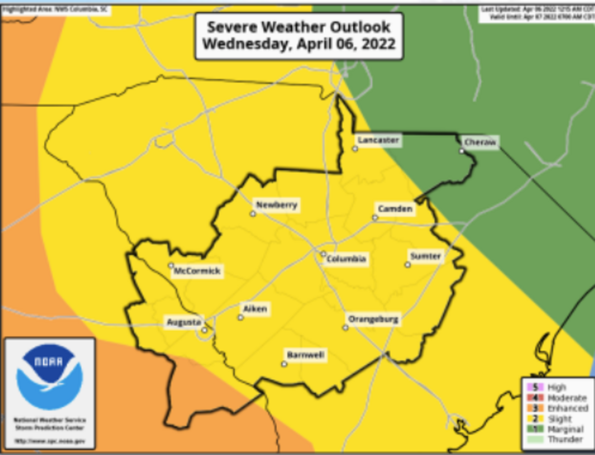
It is the second straight day severe weather is forecast for Midlands residents. A tornado did touch down in Allendale Tuesday evening, causing property damage and knocking down power lines. The National Weather Service is forecasting a limited tornado risk for most of the Midlands Wednesday.
This story was originally published April 6, 2022 at 7:49 AM.