
Nicole heads toward Upstate after storm dumps rain over Midlands, causes tornado alert
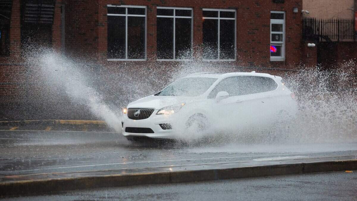
Gusty winds, some rain and flooding from rains were still possible through midday in the Midlands and across the Columbia area from Tropical Depression Nicole, the National Weather Service said Friday morning.
The advisory followed an early Friday alert at 3:30 a.m. when many in the Columbia area were awakened by a high-pitched tone coming from their cellphones and accompanied by a text message warning of possible tornadoes.
The alert was generated by radar images of possible tornadoes and automatically sent out as a tornado warning to all potentially affected areas, a Columbia meteorologist with the National Weather Service said later Friday morning.
“It was definitely warranted,” meteorologist Pierce Larkin said.
The warning went out to various parts of Calhoun, Lexington, Orangeburg and Richland counties, Larkin said.
A weather service team is investigating whether any tornado strikes occurred but there have been no reports of damage so far, he said.
A tornado warning means that either a tornado has been spotted or a radar has picked one up, and people should take action to get to a safe space, according to the weather service.
A wind advisory is in effect around the Columbia area until 7 p.m. Friday, forecasts showed.
Any threat of “short-lived” tornadoes would be Friday morning in the Pee Dee region in the eastern part of the state inland from Myrtle Beach, forecasts also showed.
Chances of flooding were more likely in urban areas, an advisory said said.
Gusty winds could be expected through the afternoon, ranging from 30 mph to 35 mph, with “a few gusts to near 40 mph still possible,” the National Weather Service said.
The storm is expected to move across the Upstate by Friday afternoon and into West Virginia Friday night.
Nicole came ashore as a hurricane Thursday morning in Florida and churned across the state before moving northwards as a tropical depression into Georgia, Upstate South Carolina and the Blue Ridge Mountains.