Columbia’s first snowfall in years forecast as temperatures plummet
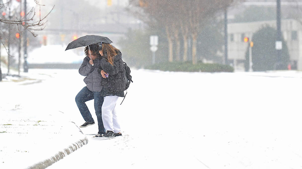
Snow is in Columbia’s future.
The first accumulation of snowfall in the Columbia area in years is expected by Saturday morning as temperatures drop across central and eastern South Carolina.
“We are expecting a bit more snow in the Columbia area now than we were previously expecting,’’ said Matt Gropp, a forecaster with the National Weather Service.
At a 12:30 p.m. briefing for the Columbia office of the National Weather Service, meteorologist John Quagliariello said the agency forecast “significant changes in terms of the headlines” just since the agency’s last winter weather briefing late on Thursday.
All counties in the central part of South Carolina and even into the Augusta area of Georgia are now under at least a winter weather advisory, and could receive up to 1 to 2 inches of snow.
After 7 p.m. Friday, a band of snow is expected to fall in western Lexington County through Columbia, and it will move east across the middle part of South Carolina, Gropp said.
A winter storm warning has been issued for Kershaw, Lancaster, Chesterfield and Lee counties, where snow accumulations are expected to be greater. Areas in the northern Midlands and Pee Dee regions are forecast to receive up to 3 inches of snow.
Ice is not expected to be an issue in the Columbia area, but could be more of a problem in the Pee Dee region of the state east of the capital city. As temperatures go down, sleet and snow will begin to fall from just after sunset to about midnight, Gropp said.
“Pretty much everyone will wake up to some snow, especially northeast of Columbia,’’ he said. “Temperatures will be really cold. This is kind of a unique storm for South Carolina. Usually it snows and the stuff melts in a couple of hours. This is going to be kind of opposite of that.’’
Temperatures were expected to be in the 30s Friday night, dropping to the 20s by early morning. Saturday will remain cold, he said.
“Our biggest concern is freezing rain and hazardous travel,” said Quagliariello, noting that lower areas in Calhoun, Clarendon, Orangeburg and Sumter counties could see significant ice accumulation, especially on bridges and overpasses.
Frost bite and hypothermia could also be serious concerns if someone is outside for an extended period of time this evening. The wind chill could drop temperatures in some areas into the teens, Quagliariello said.
The last accumulation of any measure in Columbia occurred Jan. 17, 2017, when the area had 1/10 of an inch.
Gropp said the weather through the rest of January should be colder than normal. Typical daytime highs this time of year are in the upper 50s, with lows in the 30s. High temperatures Friday were only in the 30s.
The central and northern coastal parts of the state are expected to get snow or ice. The Upstate, where snow fell last week, is not expected to get snow.
The evening’s wintry precipitation is expected to taper off around 1 a.m. Saturday.
This story was originally published January 21, 2022 at 12:14 PM.