SC braces for strong winds, heavy rainfall as Hurricane Helene heads for the coast

READ MORE
Hurricane Helene
Hurricane Helene is gaining strength and is forecast to track north toward SC where it will bring heavy rain & strong winds to the Midlands.
Expand All
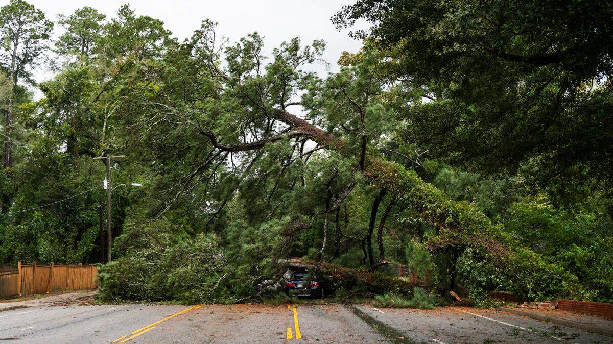
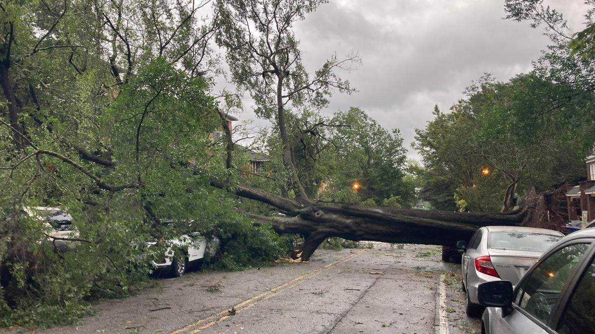
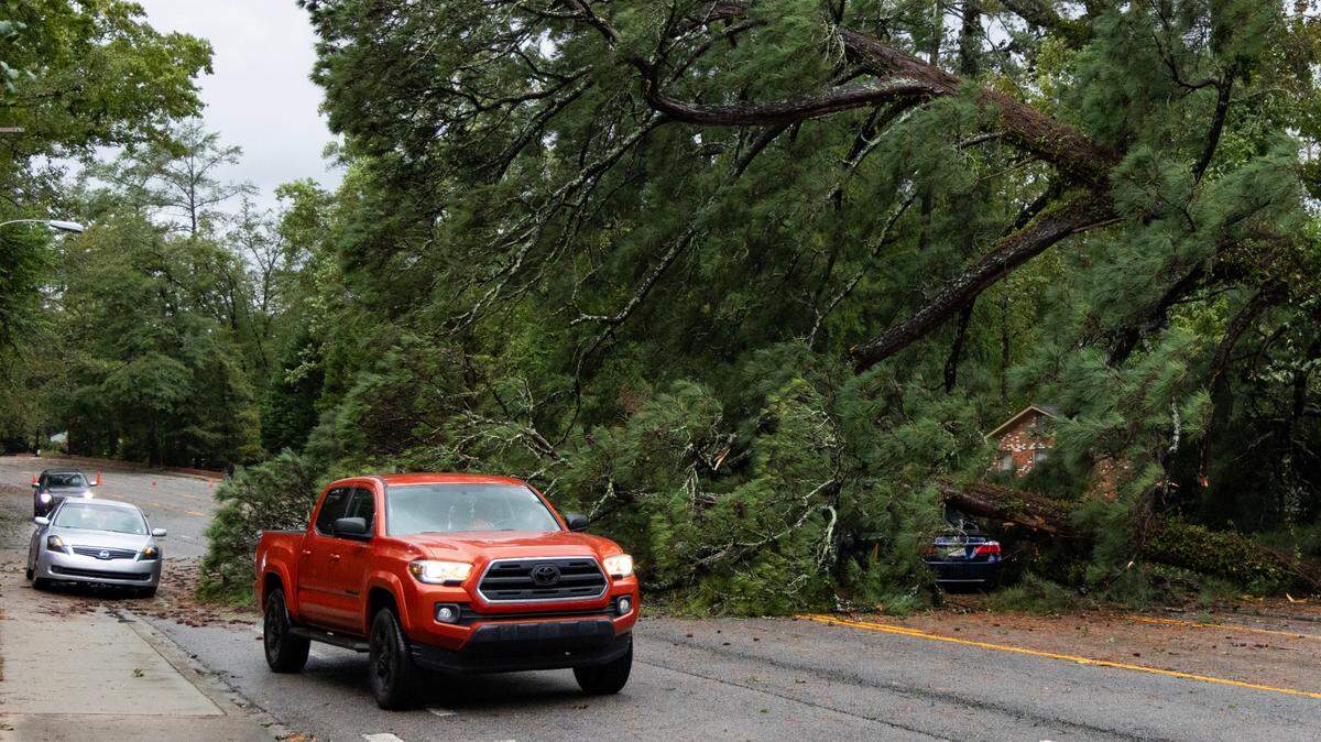
South Carolina residents should expect stronger wind gusts than initially predicted from Hurricane Helene, the National Weather Service said Wednesday.
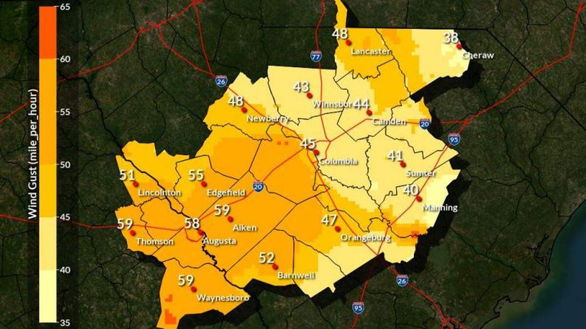
The state should prepare for wind gusts ranging from 40-50 mph in the central Midlands with 40 mph gusts in the Pee Dee, said John Quagliariello of the National Weather Service at a Wednesday evening news conference.
“We have tropical storm or hurricane warnings in effect for all of Georgia and South Carolina, which is pretty unusual,” Quagliariello said Wednesday.
The storm’s wind field is about 275 miles from its center, and is projected to move northward and inward from its current position near Florida’s Gulf Coast, said Quagliariello, adding that the timing of the storm’s impact hasn’t changed much.
“Large wind fields are expected east of Helene, bringing frequent tropical storm force gusts to most of the (SC) area late Thursday into early Friday,” Quagliariello said.
Gusts up to 50 to 60 mph are now expected in the central Savannah River area, and up to 40 to 55 mph across the Midlands, Quagliariello said.
Hurricane Helene timeline
Helene is expected to make landfall around 8 p.m. Thursday near Tallahassee, Florida, as a major hurricane. The storm is expected to bring life-threatening storm surge, damaging winds, and flooding rains to a large portion of Florida and the southeast U.S., according to a post on X by the National Weather Service.
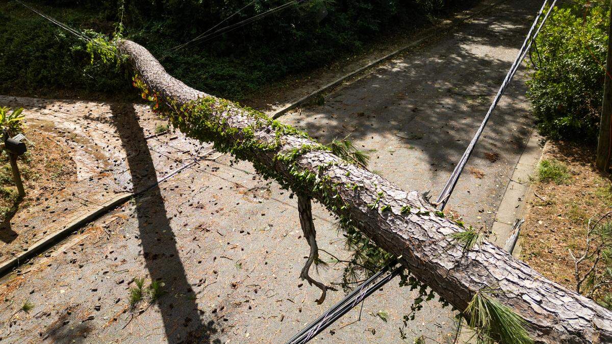
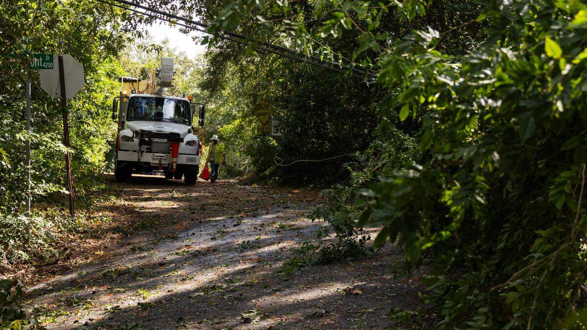
Heavy rain, tornadoes and strong winds are the primary threats to the Midlands, National Weather Service meteorologists said Tuesday in a briefing.
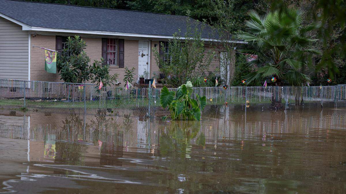
“The far western Midlands and central/upper Central Savannah River Area could see three to six inches of rainfall, with areas to the east receiving one to three inches Thursday through Friday,” Quagliariello said.
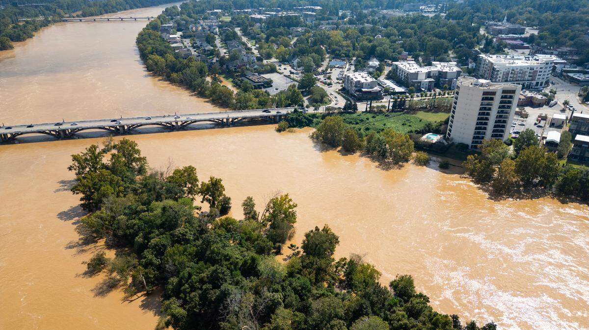
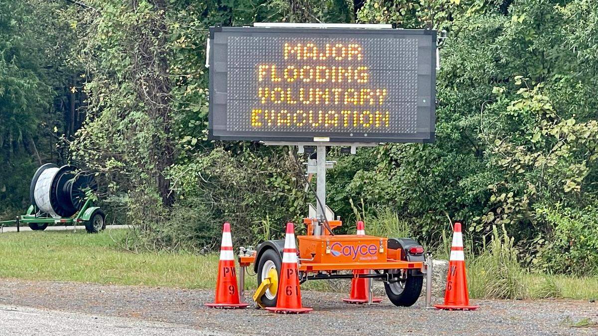
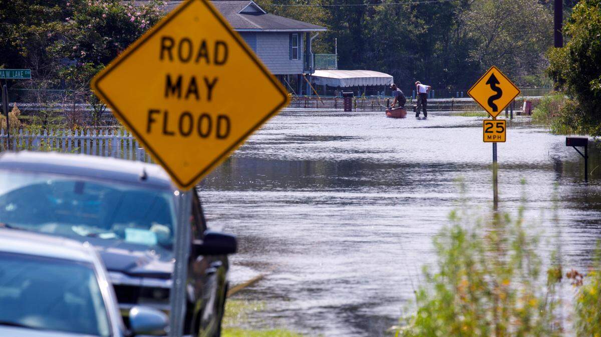
Residents should remain vigilant after the storm, as minor to moderate river flooding around the state is possible this weekend into next week, he said.
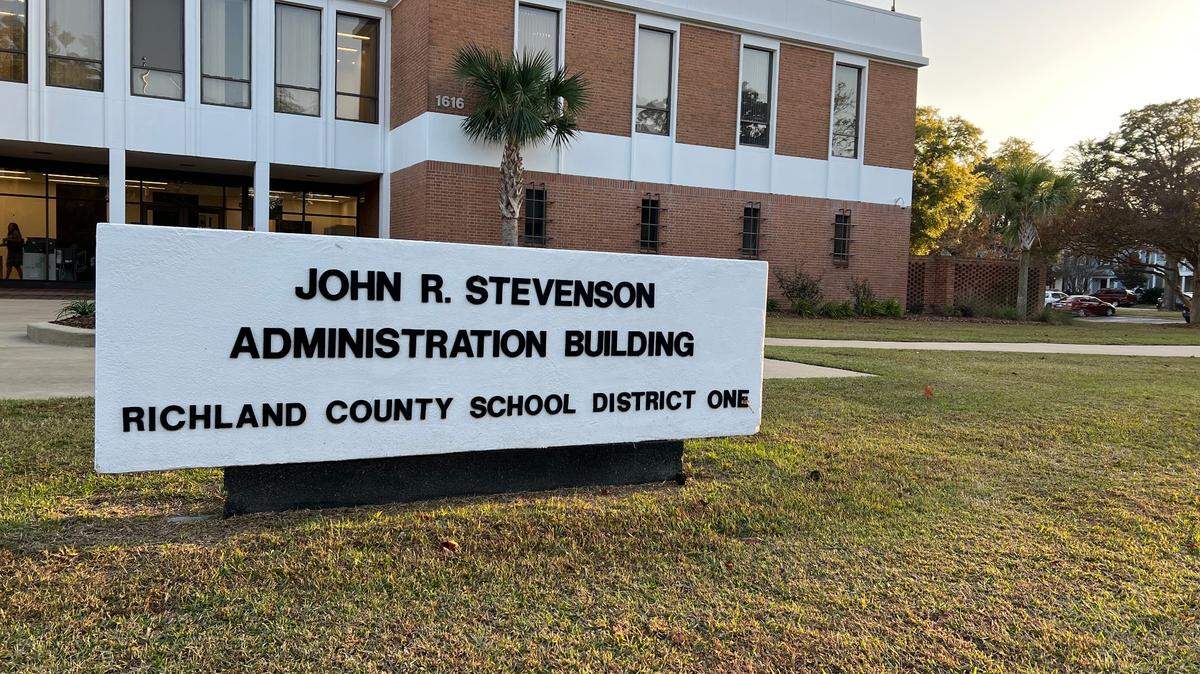
Richland One and Lexington-Richland Five school districts have decided to maintain their normal schedule Thursday, including school start and dismissal times, but have canceled all afters school programs, “due to potential inclement weather from Tropical Storm Helene,” school officials said Wednesday.
Quagliariello emphasized South Carolinaians should be mindful of the potential for heavy rainfall.
“I don’t want anyone to let their guard down,” he said. “I’m still looking at maybe a solid three to six inches of rainfall in parts of the central upper CSRA near the Midlands.”
This story was originally published September 25, 2024 at 7:39 PM.