Danger of flooding, wind damage to continue through Friday night as Ian makes SC landfall
READ MORE
Hurricane Ian hits SC coast
The latest news and updates on Hurricane Ian.
Expand All
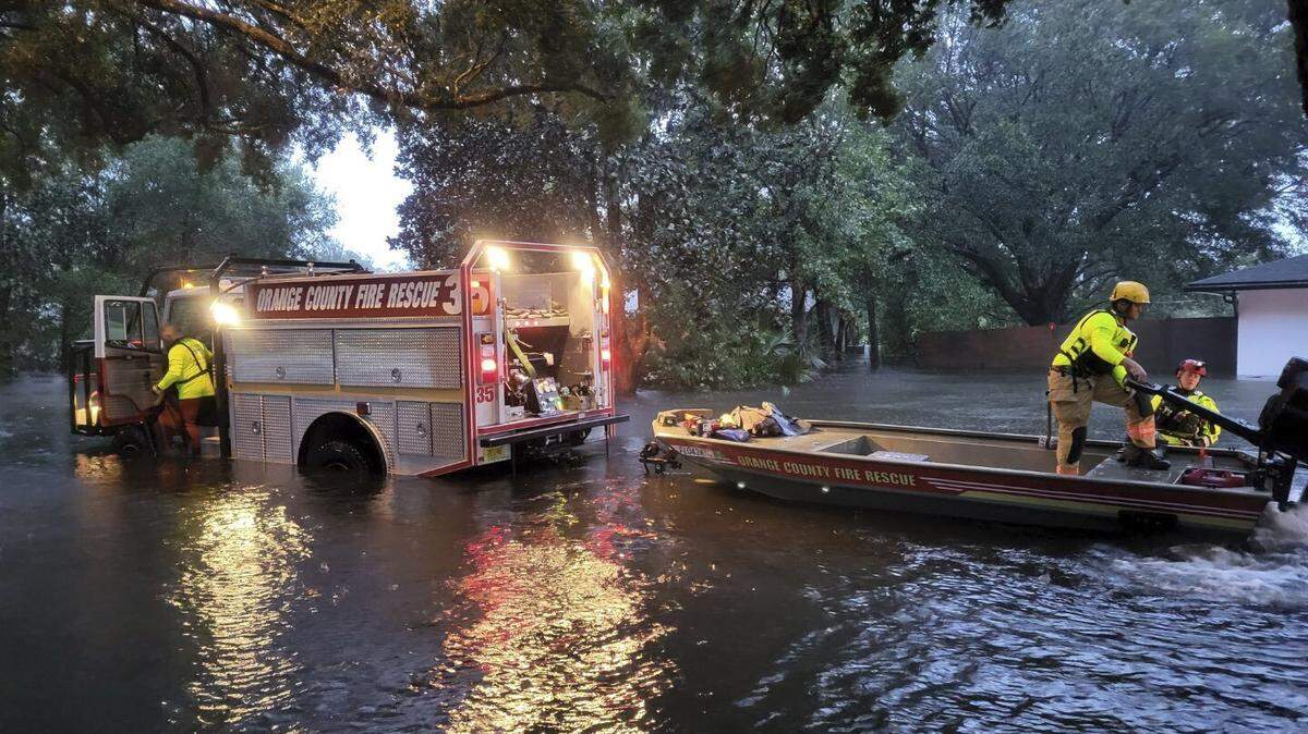
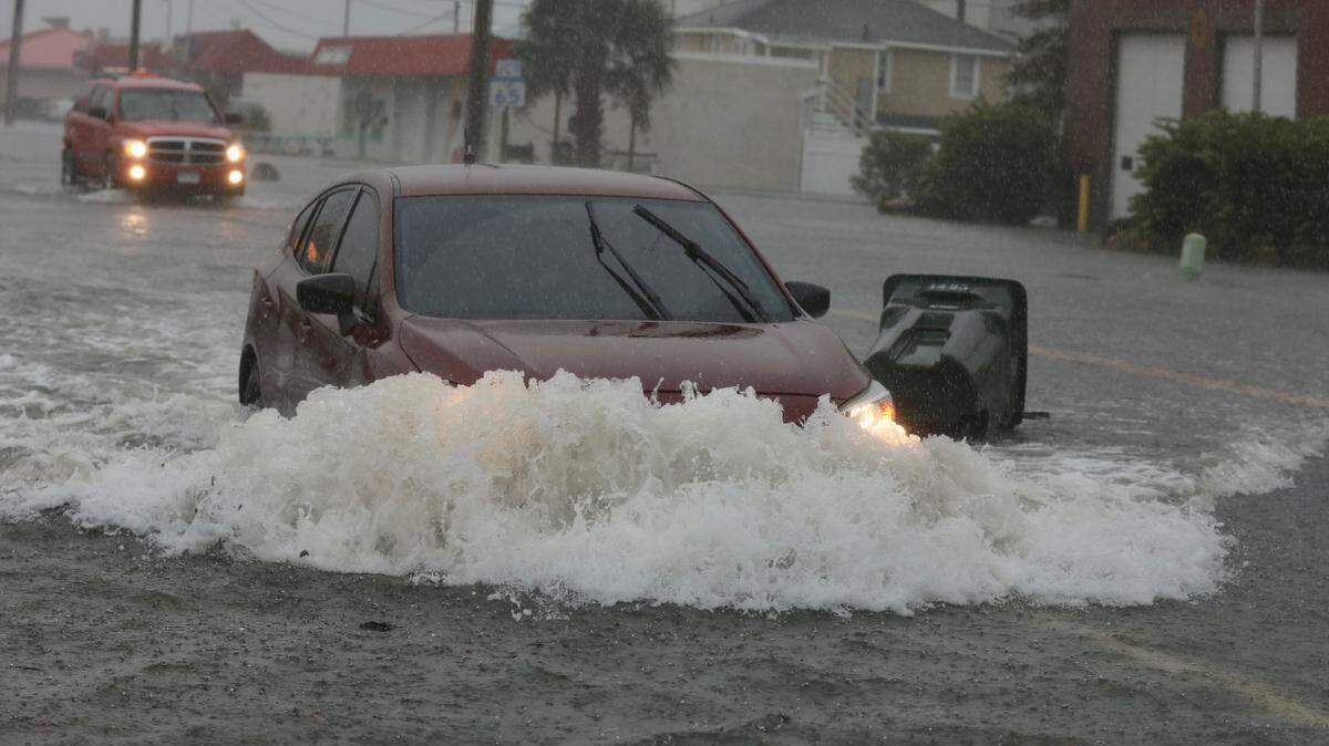
Residents of the S.C. Midlands should not let their guard down, as the threat of flooding and wind damage is set to continue through Friday night.
The Columbia area is set to receive two to three inches of rain and winds between 40 and 50 mph, according to a 1 p.m. briefing from the National Weather Service’s Columbia office.
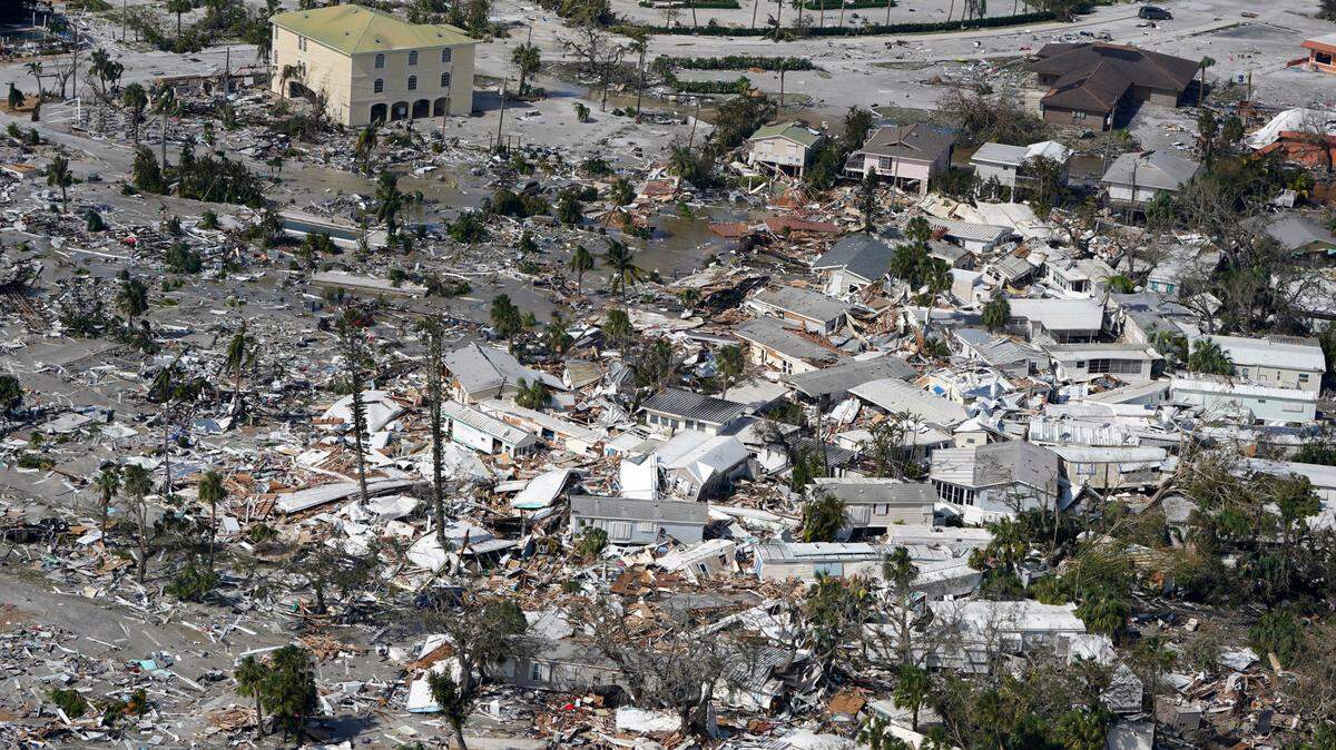
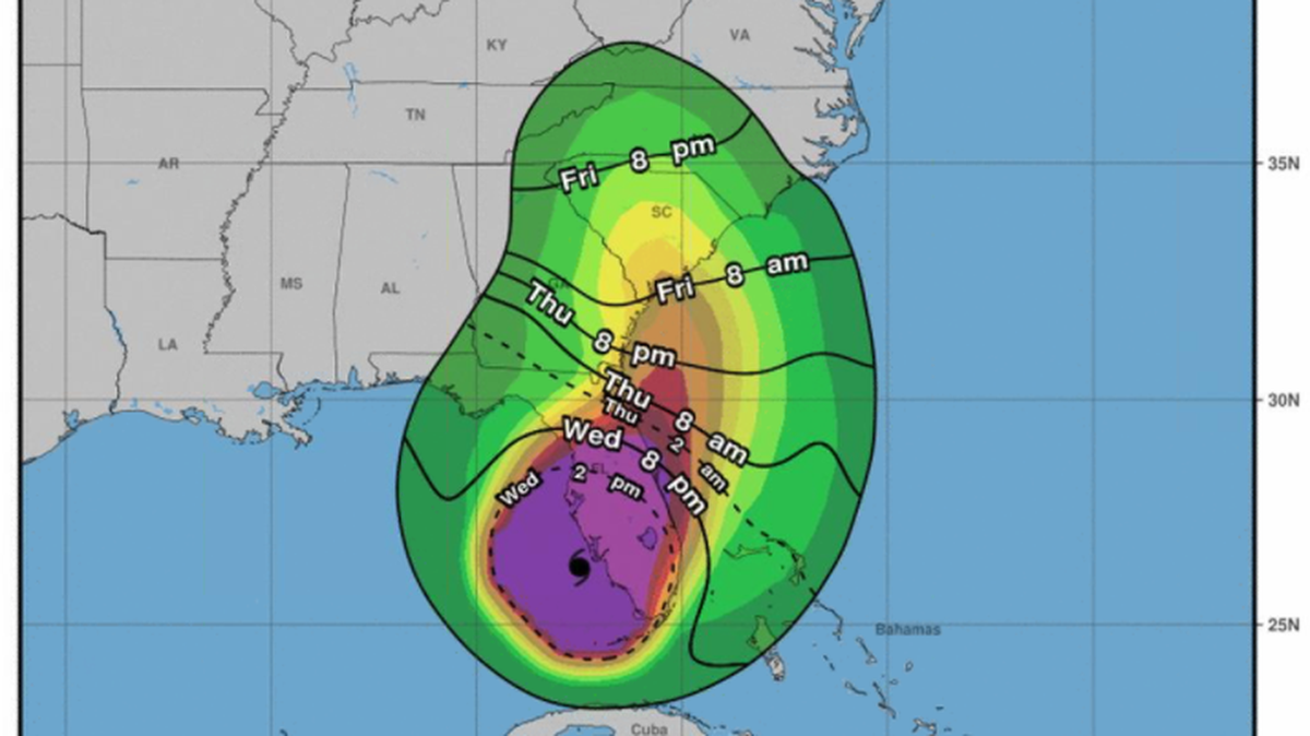
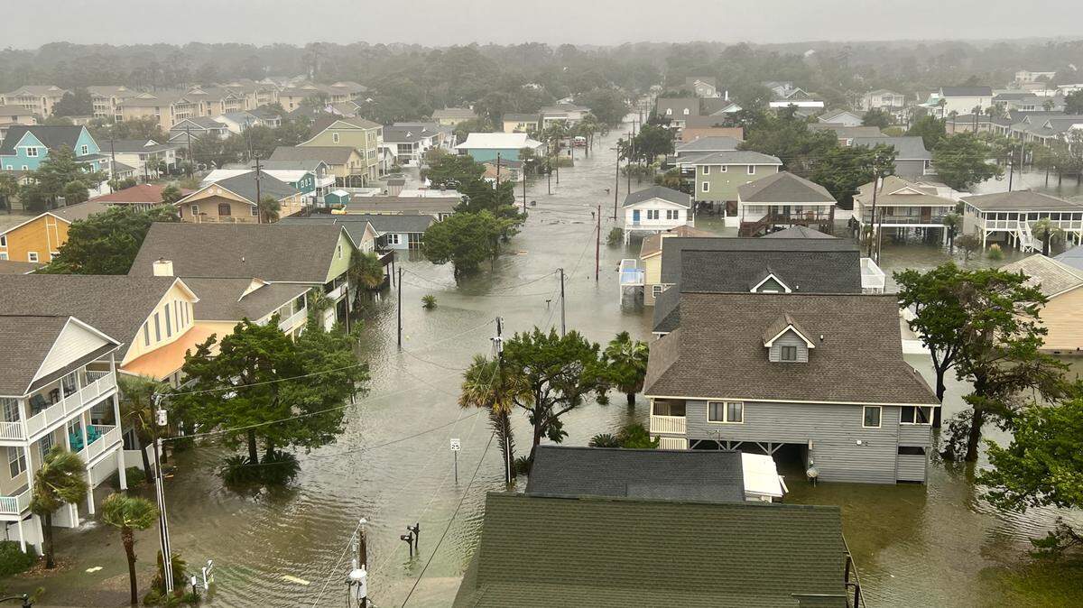
Areas further to the east could see even bigger impacts from Ian, where the eye of the storm is projected to pass somewhere near Florence later this evening. In the weather service’s Columbia coverage area, the strongest effects are now projected to be felt in Chesterfield County, where 6 inches of rain and up to 60 mph winds are now forecast.
Wind gusts will be of tropical storm strength when Ian passes through the Pee Dee region, the National Weather Service said.
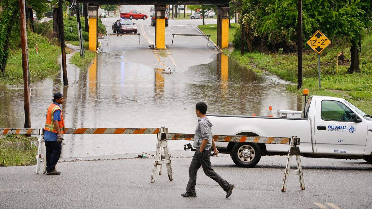
The entire area remains under a tropical storm warning, meaning that tropical storm-force winds should be expected until late into the evening. The eastern portion of the Midlands, including all of Lexington and Richland counties, are also under a flood watch.
The peak hours of storm dangers will be in the afternoon and evening. Ian is expected to make landfall early Friday afternoon and continue to slowly make its way north across the eastern part of the state throughout the rest of the day.
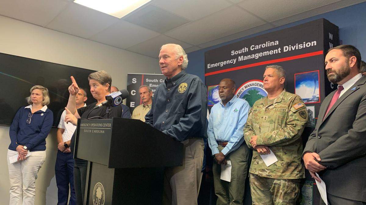
At a press conference with emergency officials Friday afternoon, Gov. Henry McMaster warned that “we’re not out of the woods” as he described Ian’s arrival as “imminent.”
Some minor river flooding is also possible throughout the Midlands, the National Weather Service warns.
South Carolina has been declared a federal emergency area by the Biden administration ahead of Ian making landfall, to go along with McMaster’s declaration of a statewide emergency on Wednesday. The declaration makes FEMA funding available to assist those affected by the storm.
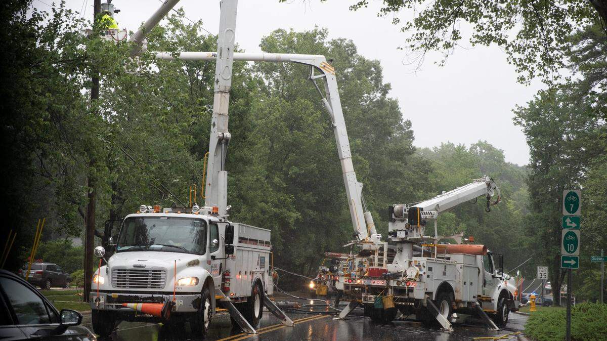
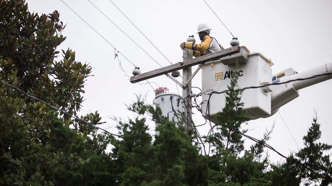
The University of South Carolina and area schools had already canceled in-person classes on Friday. Power companies warn that high winds could knock out electricity in parts of the area. Customers can track power outages in their area online.
This story was originally published September 30, 2022 at 1:35 PM.
.jpg)
.png)