Here’s how much rain Debby has dumped on Columbia so far and what’s still to come, NWS says

READ MORE
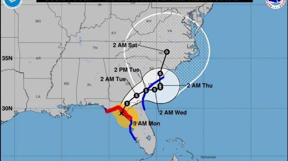
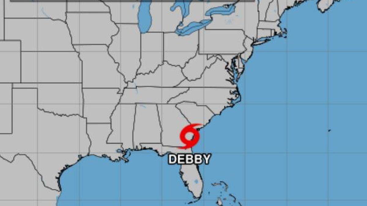
Tropical Storm Debby
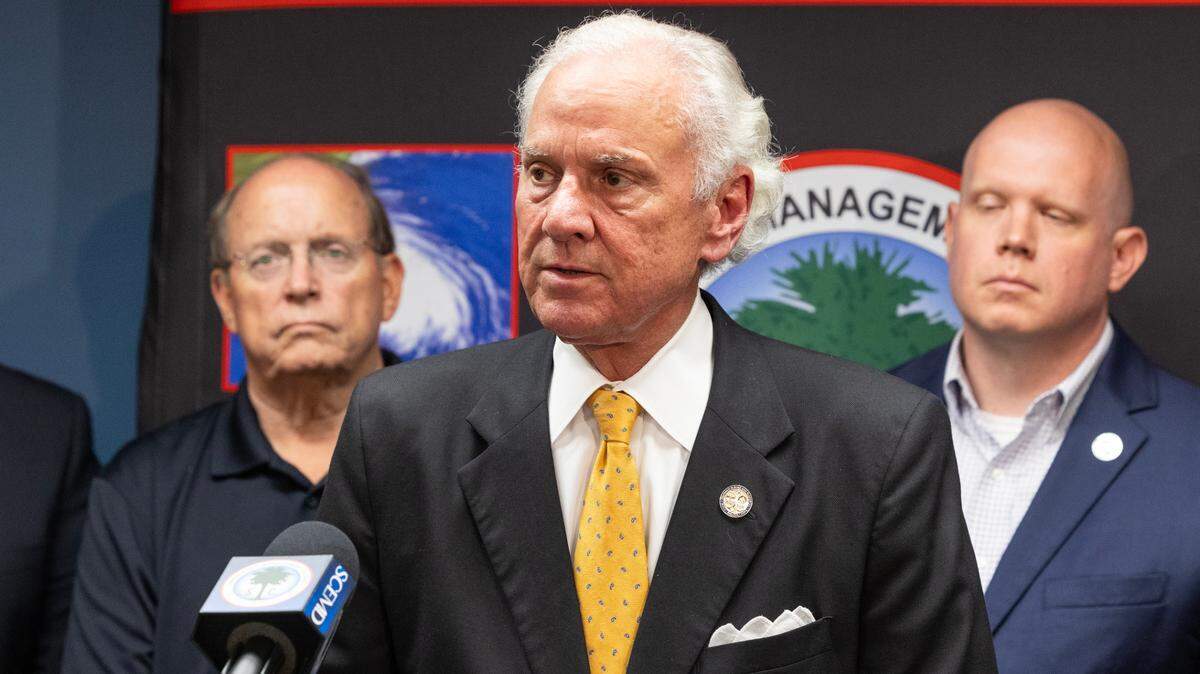
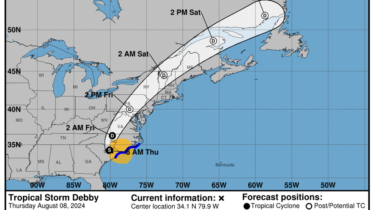
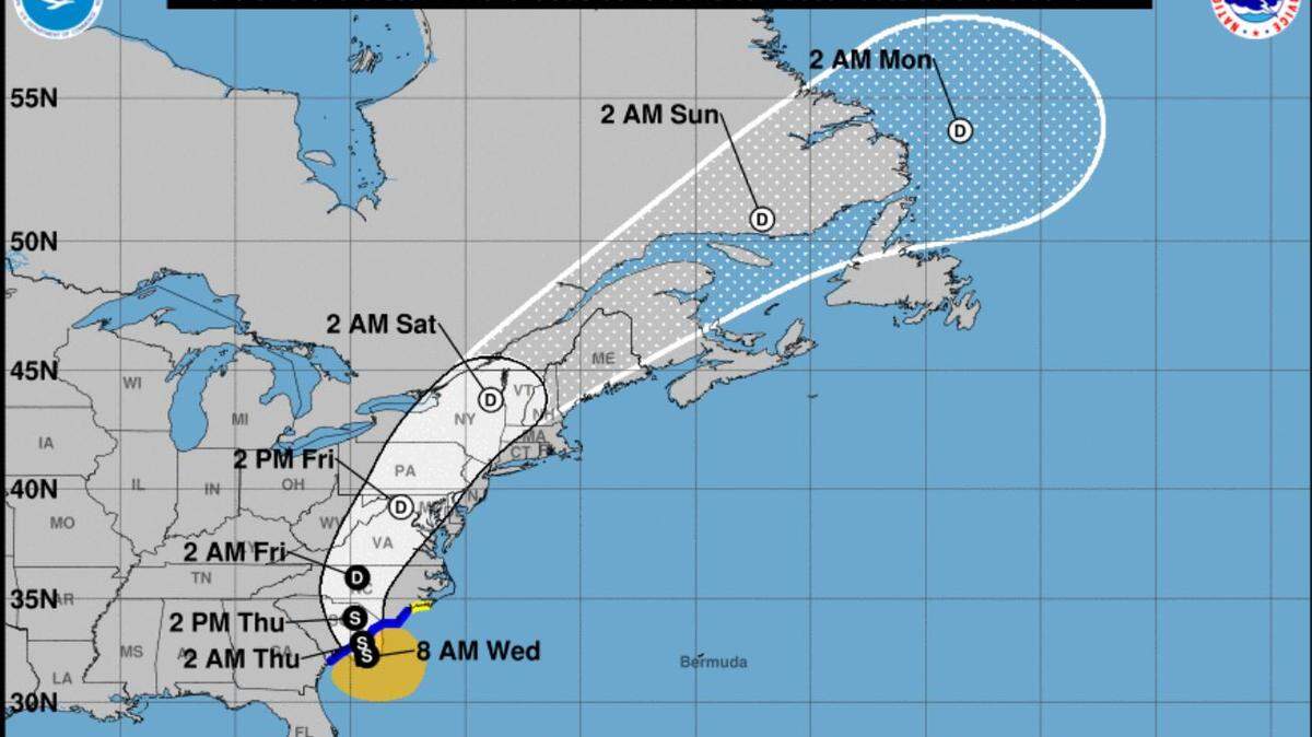
Tropical Storm Debby made landfall in the U.S. on Monday, and will move north toward the Columbia area of South Carolina, where a flood watch has been issued, according to the National Weather Service.
Expand All
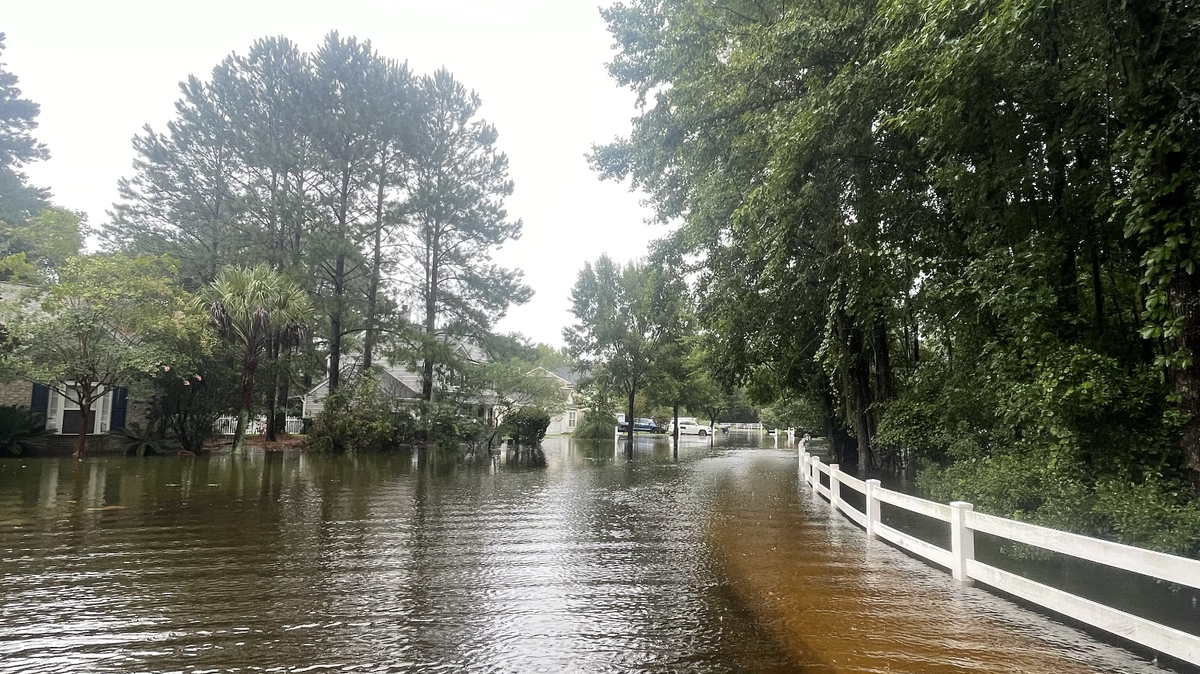
It’s been a wet few days for the Columbia area, but Tropical Storm Debby is far from done.
Rain from the storm stopped by Wednesday morning in the Columbia area, but don’t let that fool you. Several more inches of rain are expected through Friday, according to the National Weather Service.
Debby remained just off the coast of South Carolina Wednesday morning, causing a lull in in rain, the NWS states. However, the slow-moving storm is expected to turn back toward the state, ramping up rainfall tonight and into Thursday for the Columbia area.
“Really tonight, we’ll start to see that heavy rain move back into Columbia area,” said Chris Rohrbach, meteorologist with the NWS in Columbia.
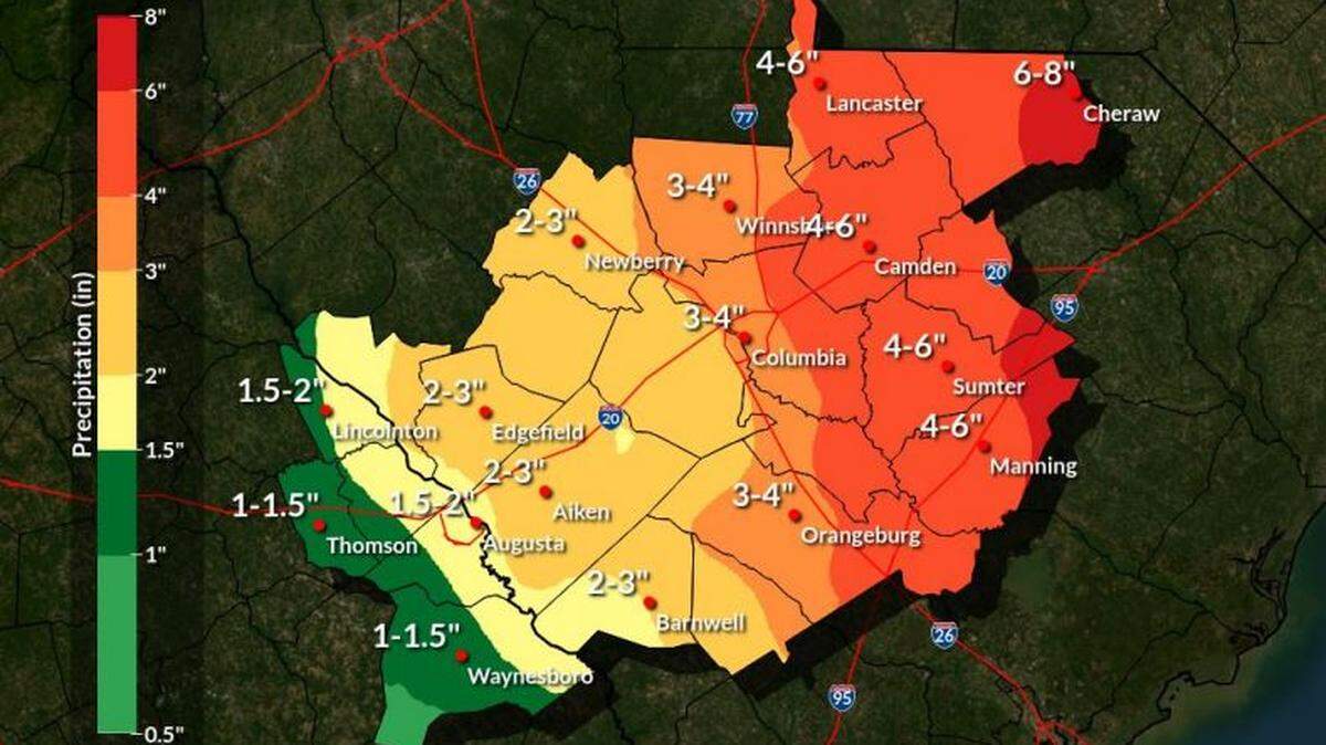
Columbia area rainfall from Debby
Rohrbach said rain totals from Debby have varied widely around the Columbia area.
For instance, as of Wednesday morning, Congaree National Park has received a total of 6.51 inches. However, the Columbia Metropolitan Airport has received only 2.66 inches of rain over the same period.
And yet near Hopkins, 4.57 inches of rain has been measured to date.
“There’s been a very big gradient from the south to the east of Richland and to Lexington,” Rohrbach said. “But overall, there’s been 2 to 3 to 6 inches of rain over the Columbia area so far.”
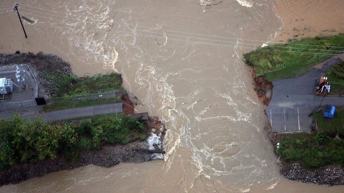
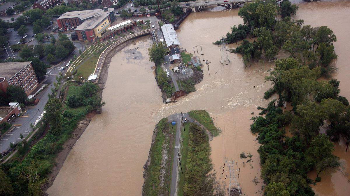
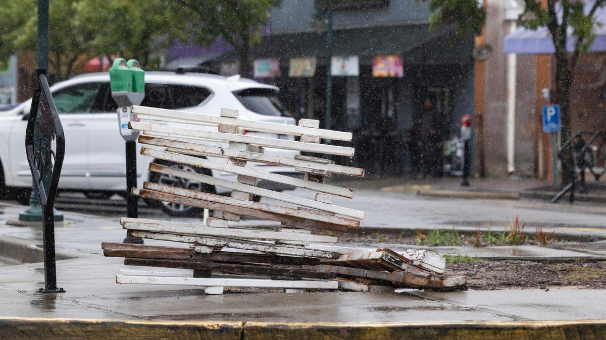
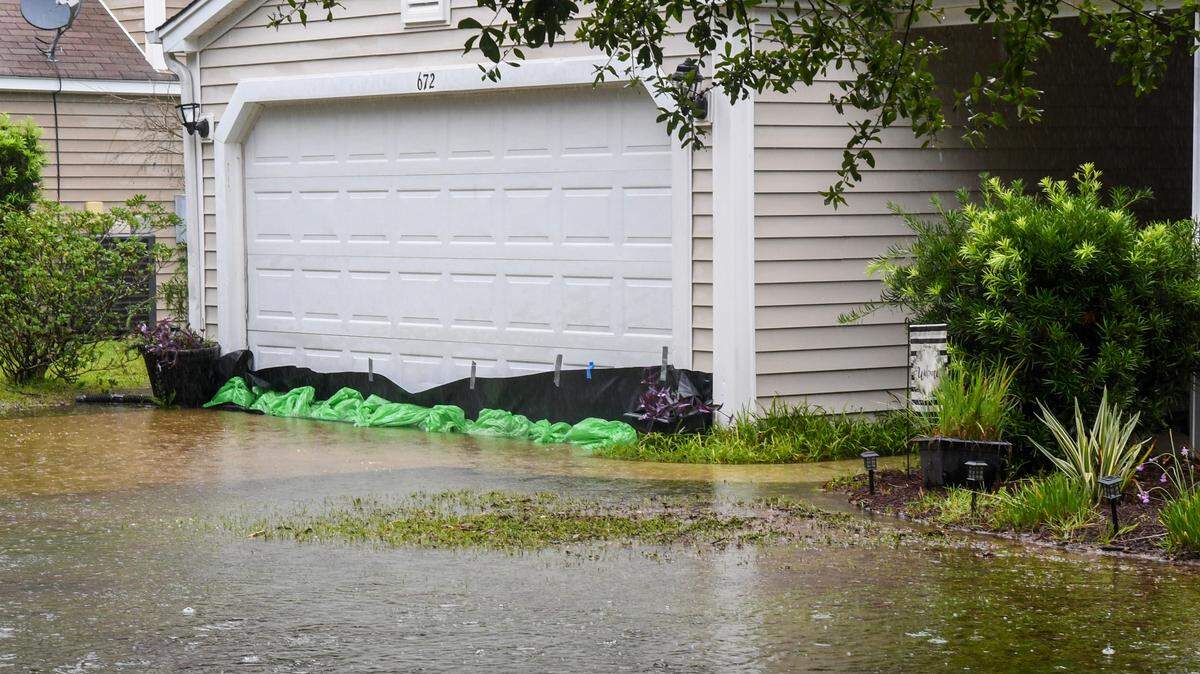
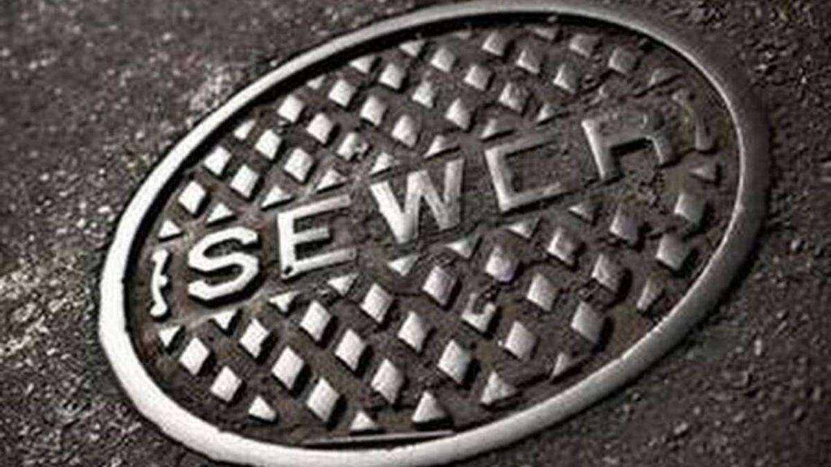
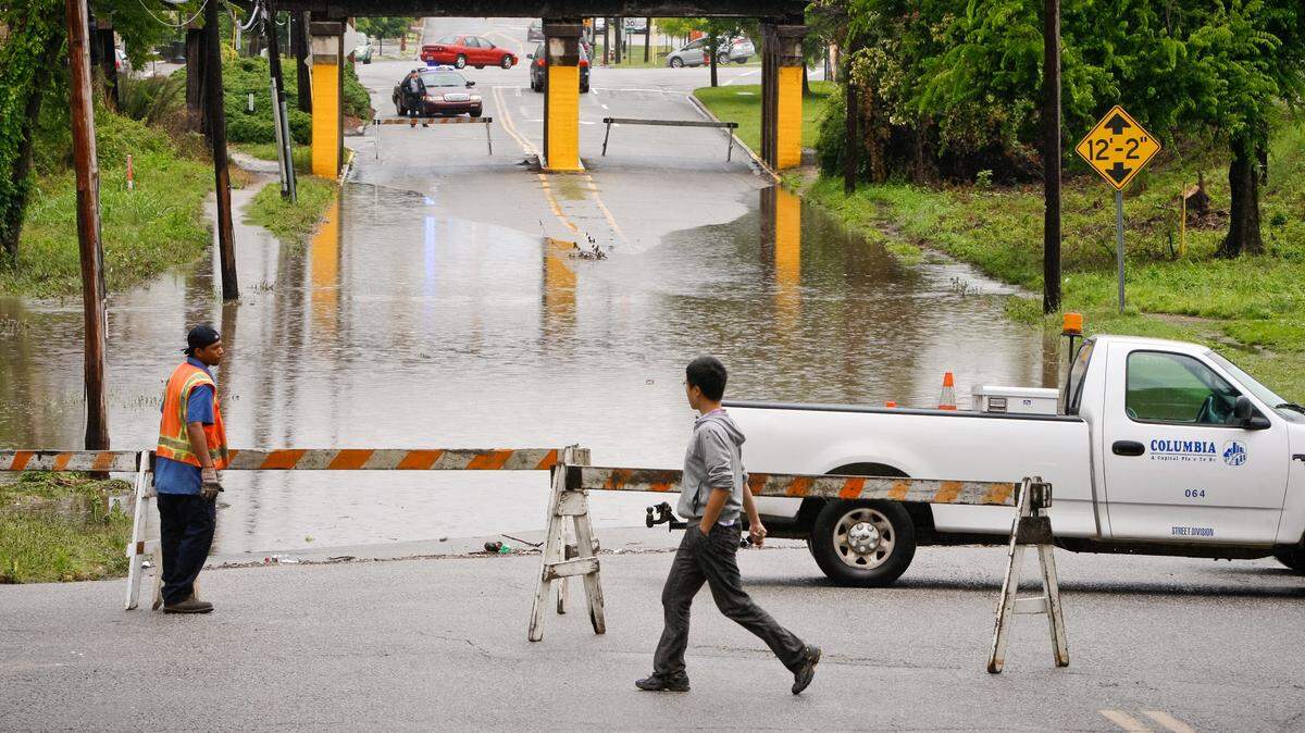
Already the rain from Debby has caused multiple sewers in the area to overflow and leak sewage into multiple bodies of water.
Debby is not done
Rohrbach said the Columbia area could expect an addition 2 to 4 inches of rain through Friday.
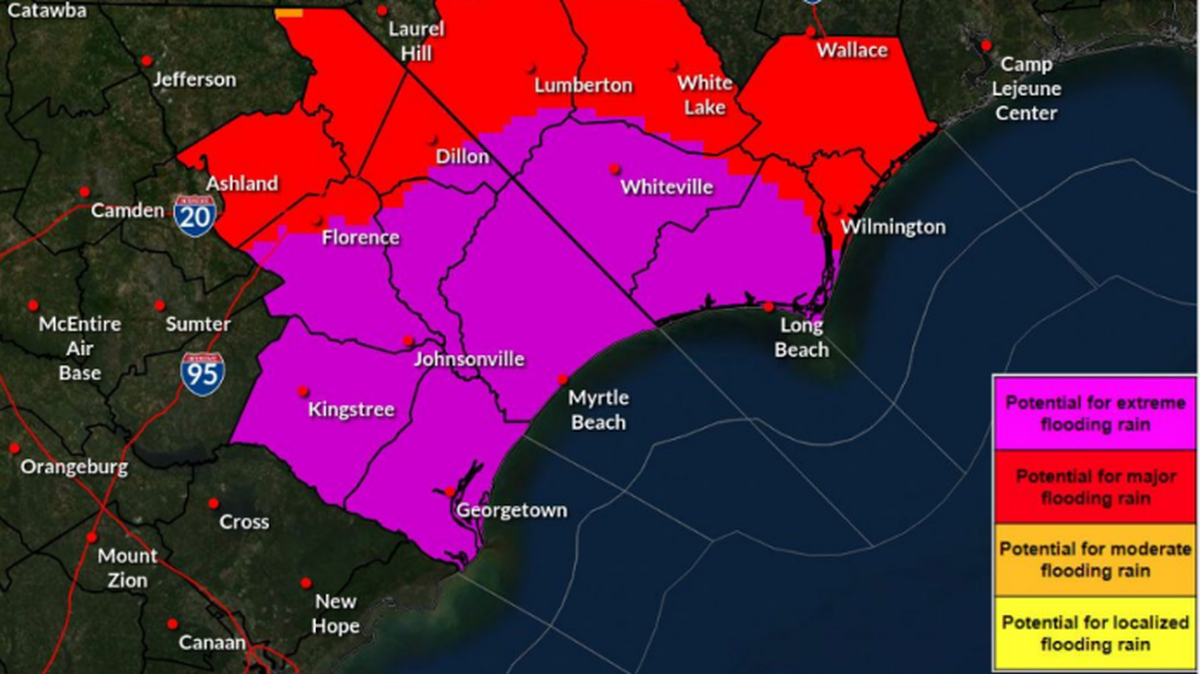
“The heaviest rain is expected to be east of the Columbia area moving into that area tonight and continuing into Thursday as Debby shifts westward,” he said.
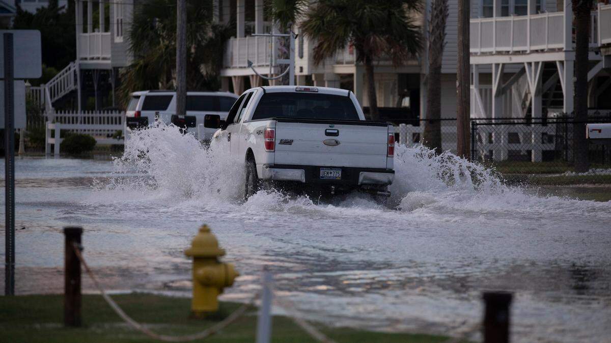
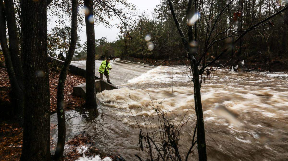
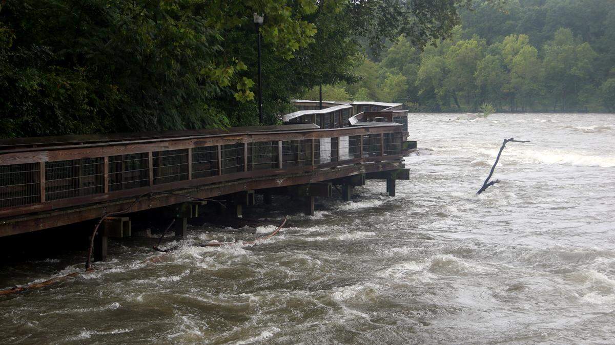
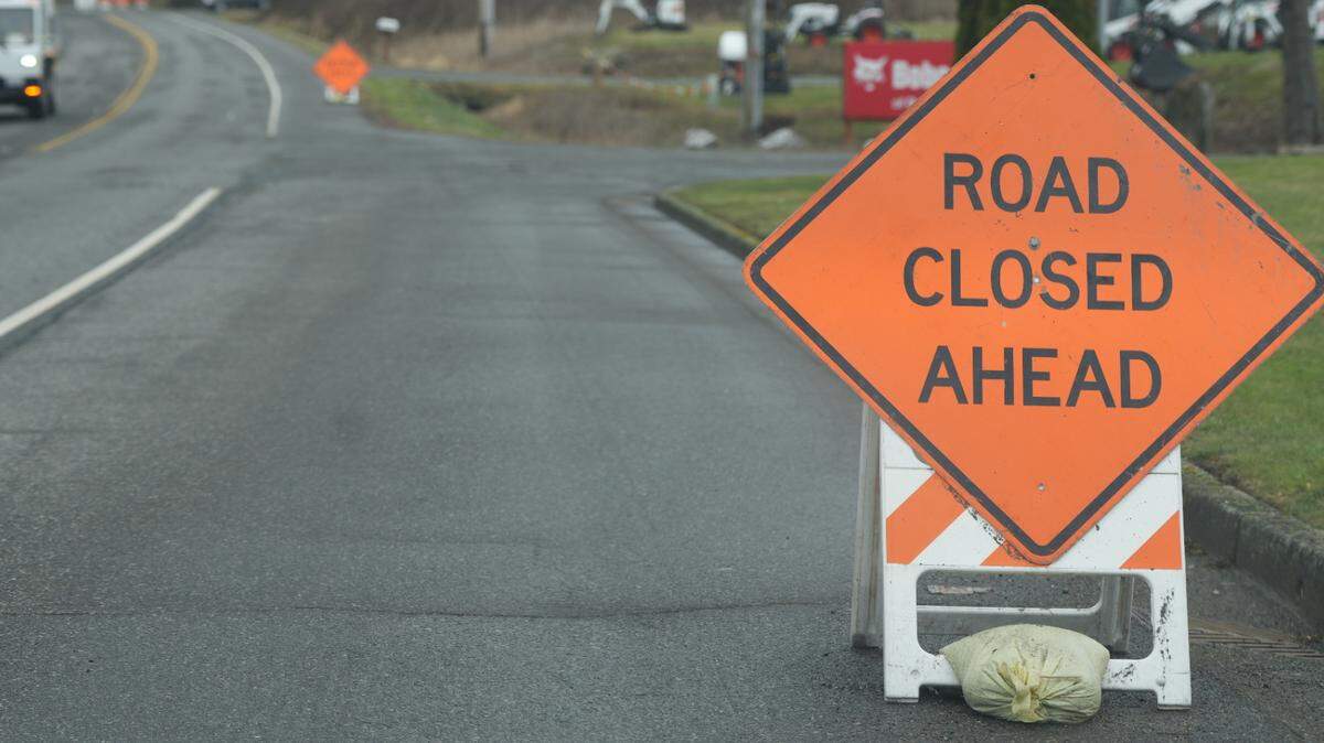
The NWS has warned that flooding is still a significant concern for the area over the next two days. The area is currently under a Flood Watch through Friday.

Rohrbach noted that it’s not just the extra rain from Debby, but the rain the Columbia area has received over the last few weeks that has raised the chances of flooding.

This story was originally published August 7, 2024 at 10:00 AM.

.jpeg)
.jpg)
.jpg)